Beaverhill Lake
|
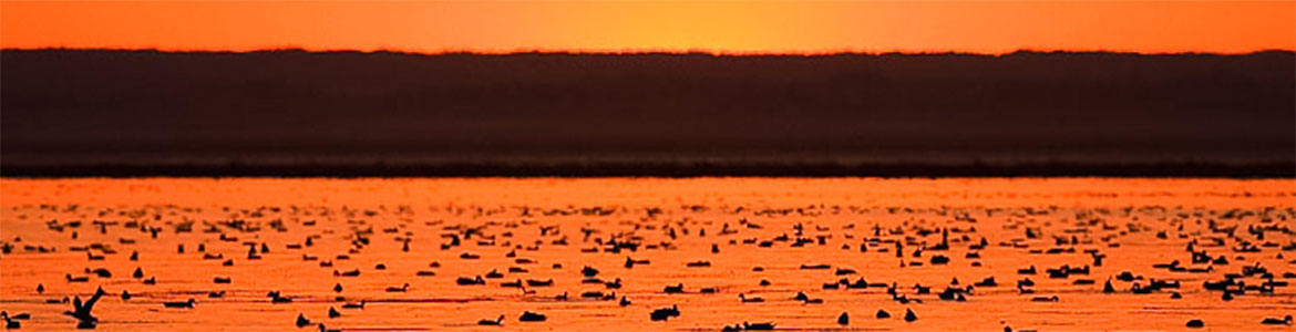
Beaverhill Lake is a shallow lake located about 60 km east of Edmonton, near the town of Tofield. Its maximum depth is only 2.3 metres, but the lake itself covered an area of nearly 140 km2 at its peak. It is designated a Nationally Important Wetland under the RAMSAR convention and is an important staging area for tens of thousands of migrating waterfowl and shorebird. Its many wetlands and mudflats are particularly important habitats. It is also a highly dynamic landform, and water levels have changed considerably over the years. In 2005, the lake dried up almost entirely, and the basin that served as a staging area for waterbirds now became an important breeding area for prairie species like the Sprague’s Pipit, Short-Eared Owl and many species of sparrow. This is not unusual, and is in fact the third time the lake has dried up in recorded history. Some of the open water was preserved, however. In 1984, Ducks Unlimited constructed a weir between Beaverhill Lake and the South Bay, now known as Lister Lake. In 2016, BBO staff started seeing signs that water was returning to the lake, and have noted significant increases in open water cover over the past few years.
With water remaining in the lake more consistently, a new shorebird survey program has been run by the observatory since 2023. This program has already documented globally significant numbers of Long-billed Dowitcher and Semipalmated Sandpipers using the lake during migration. Beaverhill Lake is designated as a Key Biodiversity Area (KBA) due to its importance to migratory shorebirds and waterfowl. |
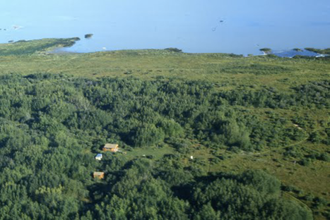
South shore of Beaverhill Lake, 1985
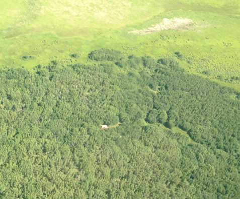
South shore of Beaverhill Lake, 2013 |